
Clearing Land With Sinkholes Around Albany, GA
Cut Brush Team · September 25, 2026 · 5 min read
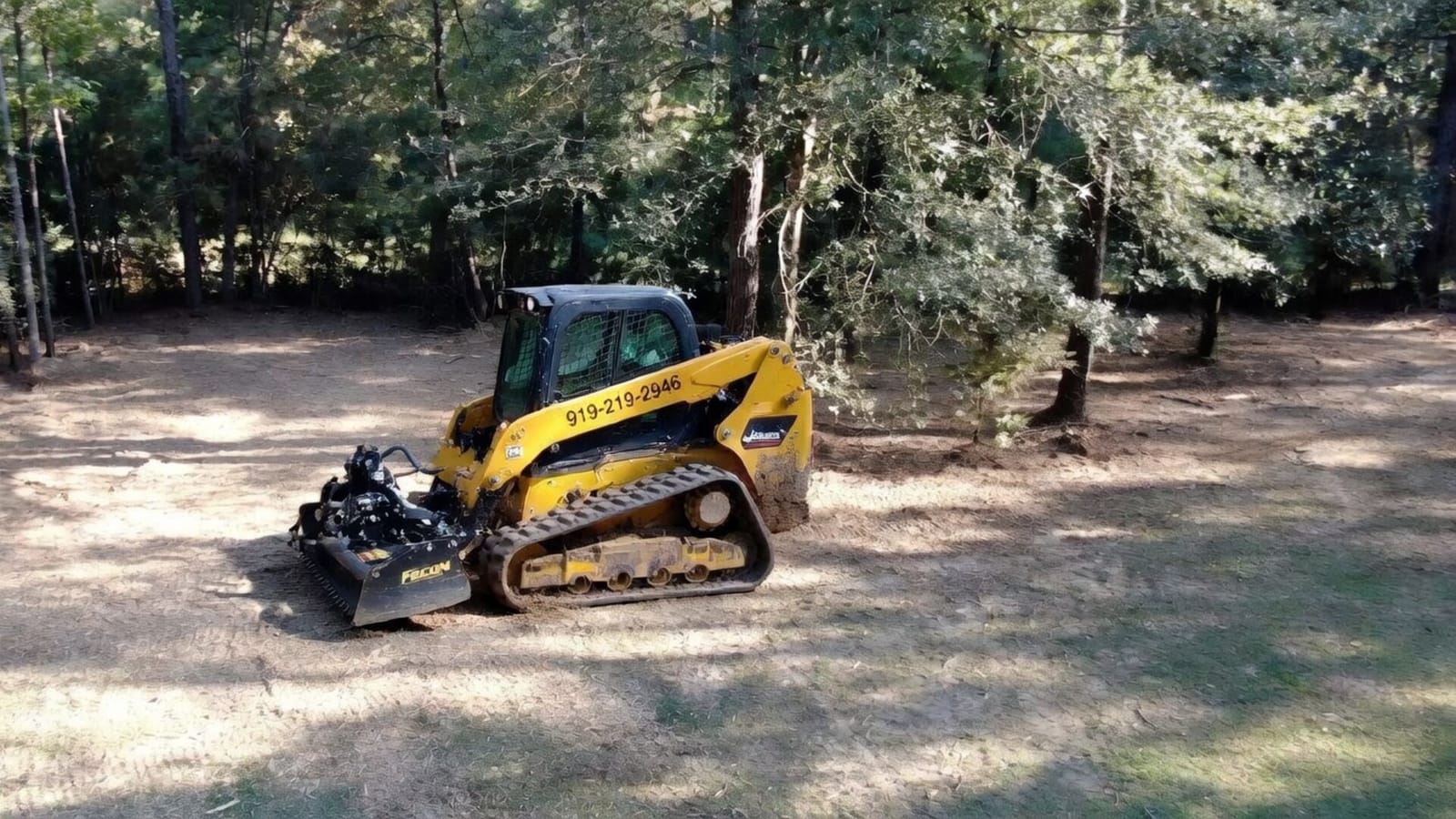
If your land near Albany has sinks, dips or ponds that come and go, mark them before any machine arrives and keep the clearing out of them. That is not caution for its own sake. Albany sits on limestone a short way below the sand, depressions are a normal part of the landscape, and a wet one may be wetland that only a formal determination can settle. Planned for, they change the layout of a job, not whether it can happen.
Why the Dougherty Plain Has Sinks
The U.S. Geological Survey describes the Albany area as lying mainly within the Dougherty Plain district of the Coastal Plain, with the Upper Floridan aquifer, a limestone, generally under only 20 to 80 feet of overlying material. The same report notes closed depressions, or sinks, throughout the Dougherty Plain (USGS).
The Jones Center at Ichauway, a longleaf reserve in Baker County, describes its own ground the same way: karst topography on the Dougherty Plain, with limesink wetlands scattered among the upland pine (NEON). On an ordinary farm or woodlot, that looks like a pond in the middle of a field, a bowl in the woods that holds water after rain, or a low swale that stays soft longer than the ground around it.
What 1994 Showed
In July 1994, rain from Tropical Storm Alberto sent the Flint River at Albany more than five feet past its 100-year flood stage. The river peaked on 11 July at a stage of about 43 feet, around five feet higher than the flood of 1925. The U.S. Geological Survey’s account of the flood records that sinkholes formed in the Albany area, which is underlain by cavernous limestone formations, and that many homes on or near them were destroyed or condemned for occupancy (USGS).
That was an extreme event, and nothing here says any particular tract is at risk. It does explain why depressions deserve respect on a clearing job around Albany, and why a question about building on a spot belongs with an engineer rather than a machine operator.
What a Depression Changes on a Clearing Job
A tracked mulcher or dozer is heavy, and it is working ground it cannot see beneath. So on any tract with sinks or low spots, the job is sequenced.
Walk and mark first. Every depression, pond edge and soft swale is flagged on the walk-through, with a margin, before a price is set. Old field corners and the edges of woods get a close look, since brush can hide a dip.
Route around, not across. The machine works away from marked ground and crosses it nowhere. Lines between depressions are slower, and that care sits a job higher in its price band rather than adding a separate charge.
Leave wet ground alone until it is settled. A depression that holds water for part of the year may be wetland. That is a formal determination made by the agencies responsible, not a judgment call on the day, and the work stays out of it until the answer is in hand.
Keep the cover. Mulching leaves a mat on the surface and stumps in the ground, which keeps sandy soil in place around a depression better than bare, stumped ground does. Where a finish has to be bare, that is named in the quote with how the ground will be stabilized.
Building Near a Sink Is a Separate Question
Clearing opens a site; it does not tell you whether a spot is sound enough for a house, a shop or a pond. That question belongs to a geotechnical engineer, and on the Dougherty Plain it is worth asking before the envelope is fixed. The USGS report even notes that closed depressions are probably unsuitable as well sites, because they can flood and can carry what drains into them down toward the aquifer.
What Cut Brush can do is keep the layout flexible. If the house site moves after an engineer’s visit, it is easier to shift a staked envelope on a mulched lot than to regrade ground that was stripped too early. Our Albany pricing guide shows how homesite prep is priced, with grading as a separate line.
Water, Permits and the 200-Foot Line
A pond or a wet sink can also bring a permit into play. Inside Albany, a clearing project under one acre loses its exemption within 200 feet of the bank of state waters, and state waters carry a 25-foot buffer that stays in its natural vegetation. Outside the city, Dougherty County Public Works can require a permit on small jobs that threaten nearby water. Whether a particular depression counts is the governing authority’s call. Our Albany land clearing permit guide sets out each test with its source.
Frequently Asked Questions
Can you clear a tract that has sinkholes on it?
Yes, the ground around them. Each depression is marked with a margin and left alone, and the machine routes around it. Anything that holds water is treated as possible wetland until a formal determination says otherwise.
Does a depression make clearing more expensive?
Usually a little, as care rather than a new rate: marking, routing and slower lines between low spots. A tract with one pond prices close to open ground; one with many scattered dips sits higher in its band.
Should I fill a sink after clearing?
Not without advice. Filling or grading a depression is earthwork, it can bring a permit into play, and a sink’s behavior is a question for a geotechnical engineer. Cut Brush clears around depressions and does not fill them.
Clear the Rest of the Land the Right Way
A tract with sinks and ponds can still be opened and used, with a plan that keeps the machine out of the low ground.
See every range on the Albany pricing guide, read the local conditions on our Albany land clearing page, then request a free quote. We walk the ground, mark what needs marking, and put the scope in writing.
More from the Cut Brush Blog
Keep reading for more tips and guides on land clearing.
 Cost Guide
 Forestry Mulching Cost in Albany, GA (2026)
Forestry mulching around Albany, GA runs $1,500 to $4,000 per acre. See what oak under longleaf, Dougherty Plain depressions and water buffers do to the price.
County Guide Land Clearing Permits in Albany & Dougherty County
Albany and Dougherty County each issue their own land disturbance permit. Here are the one acre and 200 foot tests, the fees, the exemptions and the burn rules.
 Guide
Guide Wisteria Removal in Georgia: Save the Trees, Stop Regrowth
Wisteria removal in Georgia starts with cutting vines off the trees you want to keep. See how it spreads, why one cutting fails, and what clearing costs.
Ready to Get Started on Your Land?
Get a free, no-obligation estimate for property in Albany & Southwest Georgia.
Get Your Free QuoteOr call us directly: (919) 525-3950