
Land Clearing Permits in Palestine & Anderson County, TX
Cut Brush Team · October 1, 2026 · 5 min read
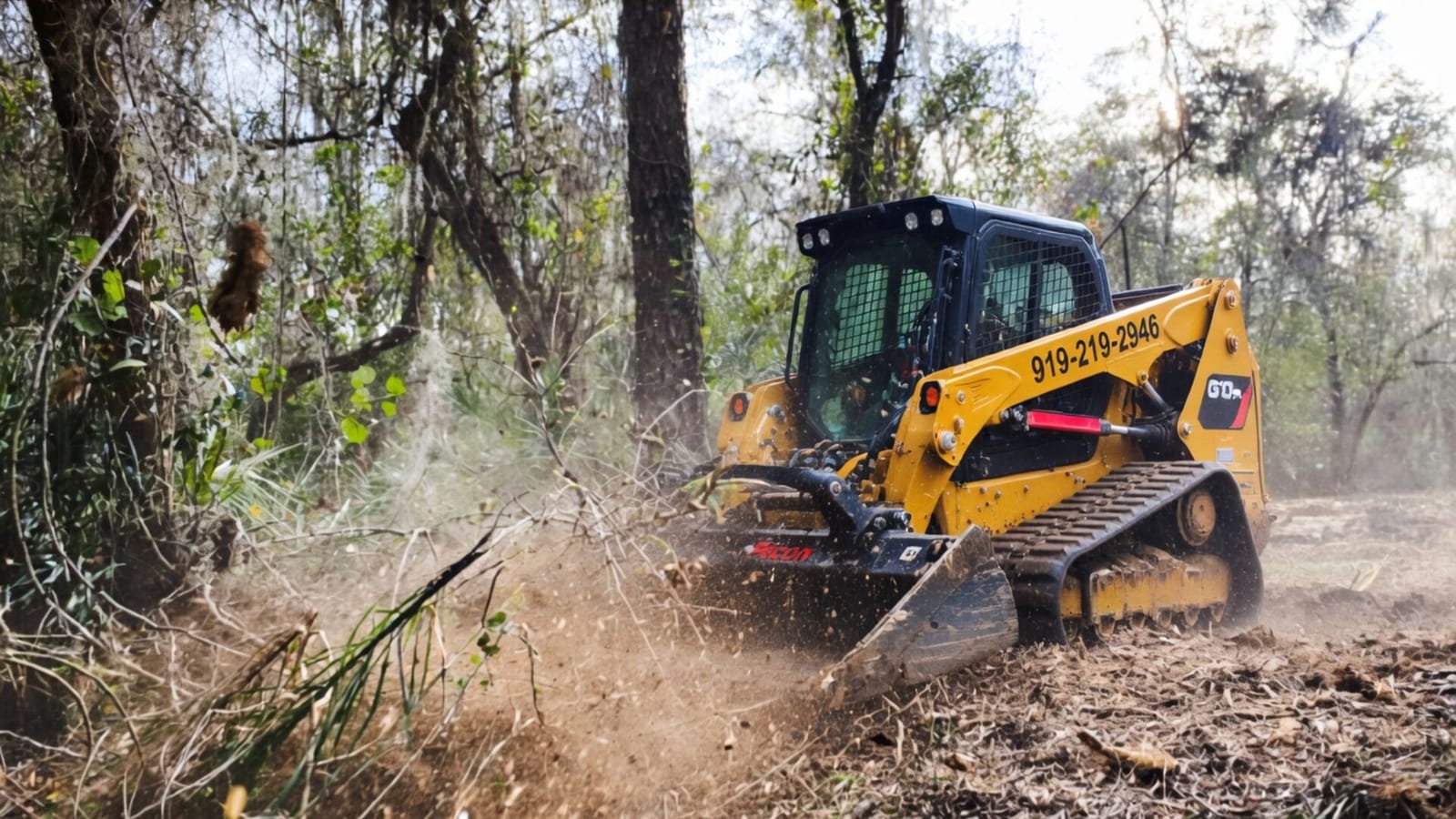
Around Palestine, what draws a permit is disturbing soil, not cutting brush. Inside the city, a grading and excavation permit covers filling, grading, excavating or otherwise disturbing the surface, and projects of 5,000 square feet or more add a stormwater plan. In unincorporated Anderson County, a floodplain development permit applies to development in mapped flood hazard areas. Above one acre, the state stormwater permit can apply, and burning runs into state rules and frequent county bans.
Each rule below names its source. Requirements vary by parcel, scope and jurisdiction, and the governing authority makes the determination.
Inside Palestine: The Grading and Excavation Permit
The City of Palestine’s Development Services department says approvals are needed “before construction, installation, or major site work,” and lists a grading and excavation permit among its applications (City of Palestine, Development Services). The permit form itself spells out the scope (City of Palestine, Grading and Excavation Permit).
What it covers. The permit “allows the owner to fill, grade, excavate, or otherwise disturb the surface of property,” under Article IX of the city code, Storm Drainage and Flood Control Standards. The owner signs a statement giving the contractor permission to do that work and accepting the owner’s responsibilities under Article IX.
What may be attached. Depending on the project, the city asks for:
- grading and excavation plans for approval;
- a stormwater pollution prevention plan “for projects developing 5,000 square feet or more of land,” with the state notice of intent where it applies;
- Development Services approval of a tree preservation plan, “when applicable”;
- a FEMA conditional letter of map revision where the work encroaches on a floodplain;
- a public improvement permit if new storm drainage is needed, with Article IX, Section 40-221 cited.
What it forbids. The form makes it an offense, and a nuisance, to let soil, mud, rock or debris wash, slide or erode off a property onto streets, alleys, utility or drainage facilities, rights of way or easements. If the city has to clean up or install erosion controls, it bills the owner and can place a lien if the bill goes unpaid after 30 days.
So mulching brush on a city lot, with no soil moved, is a different act from what the form describes. Pulling stumps, levelling a pad or bringing in fill is squarely inside it. The grading form names a tree preservation plan but the city’s own pages read for this guide do not say when one applies, so ask Development Services at (903) 731-8435 before a wooded city lot is cleared.
In Unincorporated Anderson County: The Floodplain Permit
Outside the city, the rule that most often touches clearing is the county’s Flood Damage Prevention Ordinance, filed with the county clerk on 14 August 2023 (Anderson County, Flood Damage Prevention Ordinance).
Where it applies. “All areas of special flood hazard with the jurisdiction of Anderson County,” as mapped in the county’s Flood Insurance Study and FEMA flood maps dated 3 February 2010, with revisions.
What it requires. “A Floodplain Development Permit shall be required to ensure conformance with the provisions of this ordinance.”
What counts as development. “Any man-made change to improved and unimproved real estate, including but not limited to buildings or other structures, mining, dredging, filling, grading, paving, excavation or drilling operations or storage of equipment or materials.” Among the ordinance’s stated methods is to “control filling, grading, dredging and other development which may increase flood damage.”
Who decides. The county’s Emergency Management Coordinator is the floodplain administrator. That office reviews permits, interprets map boundaries where the map and the ground disagree, and checks that any required federal approvals, including under Section 404 of the Clean Water Act, have been obtained.
The FEMA flood map shows whether any part of a tract is mapped, and on land that runs down to a creek or river, the bottom is the part to look up first. Mulching brush on a bottom without moving soil is a different act from grading or fill; whether a particular job needs a permit is the floodplain administrator’s call. Our guide to clearing river-bottom land around Palestine covers the ground itself.
The State Stormwater Permit
TCEQ’s construction general permit, TXR150000, covers construction that disturbs one acre or more, or less where it is part of a larger common plan of development, and requires a stormwater pollution prevention plan before work starts (TCEQ, construction stormwater). Clearing for a building or subdivision is construction activity. Inside Palestine the city’s own threshold of 5,000 square feet is far lower, so a city project can need a stormwater plan well before the state permit applies. Cut Brush does not prepare stormwater plans or file permits, but can flag the thresholds at the quote stage.
Burning the Brush
State rules allow brush from land clearing to be burned on the property where it grew (30 TAC 111.209), then narrow that down: outside city limits unless an ordinance allows it, downwind of or 300 feet from neighbouring occupied buildings unless the neighbours give written approval, starting no earlier than an hour after sunrise and finished by an hour before sunset, with the wind between 6 and 23 mph, and attended throughout (30 TAC 111.219).
A county burn ban overrides all of that, and around Palestine bans are frequent. On the Texas A&M Forest Service list checked on 1 October 2026, Anderson, Freestone and Houston counties had bans posted, and Leon did not. Anderson County’s website records an earlier 30-day ban lifted on 4 April 2026 (Anderson County). Check the Forest Service map or the county before planning any fire. Grinding the brush in place needs no burn at all.
Frequently Asked Questions
Do I need a permit to mulch brush on my land near Palestine?
Usually not, if no soil is moved and, in the county, the land is outside a mapped flood hazard area. Grading, excavation and fill are what the city and county rules name.
Who handles floodplain permits outside the city?
Anderson County’s Emergency Management Coordinator, who serves as the county floodplain administrator.
When does a city project need a stormwater plan?
The city’s grading form asks for one on projects developing 5,000 square feet or more of land.
Talk Through Your Palestine Project
See what each kind of work costs on the Palestine pricing guide, read about the ground on our Palestine land clearing page, compare the Palestine forestry mulching cost guide, then request a free quote. Cut Brush can flag what commonly applies and help identify the right office.
More from the Cut Brush Blog
Keep reading for more tips and guides on land clearing.
 Guide
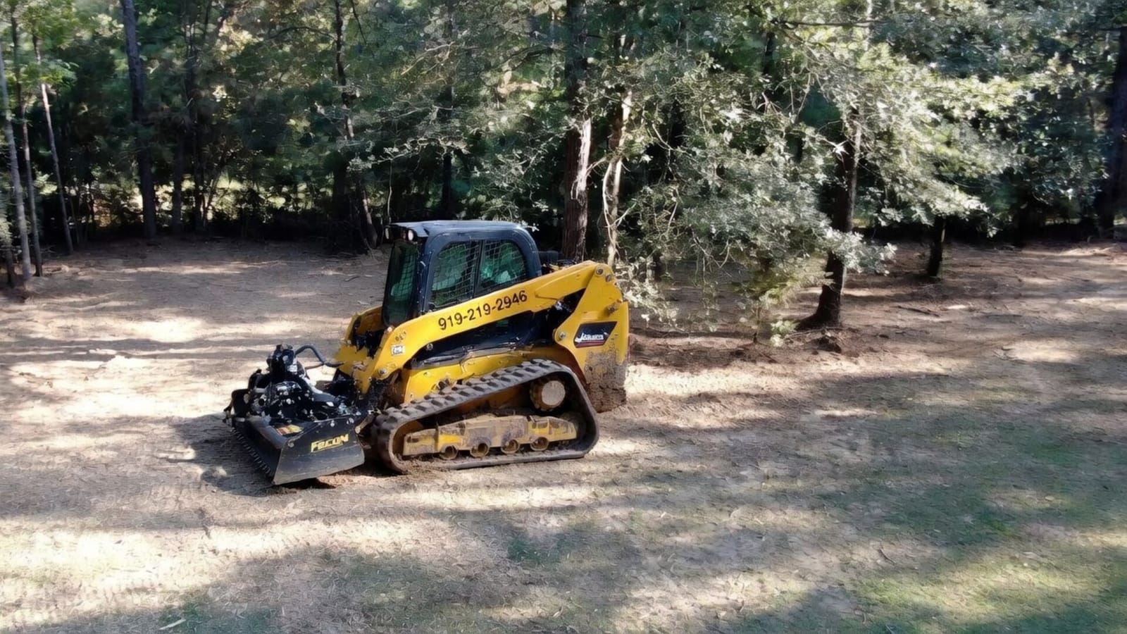
Guide Clearing River-Bottom Land Around Palestine, TX
Why creek and river bottoms around Palestine, TX clear differently from the sandy post oak uplands, and how clay soil, flood maps and timing shape the plan.
 Cost Guide
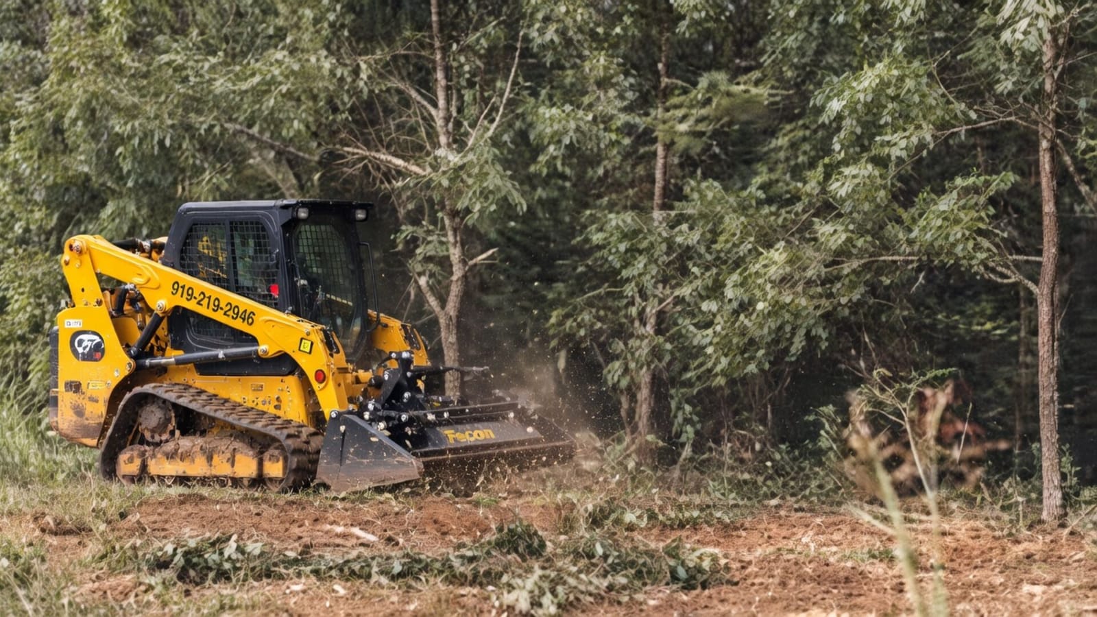
 Forestry Mulching Cost in Palestine, TX (2026)
Forestry mulching around Palestine, TX runs $1,500 to $4,000 per acre. How yaupon density, sandy uplands, clay creek bottoms and burn bans move the price.
Cost Guide Land Clearing and Grading Cost in Texas (2026 Guide)
Land clearing in Texas runs $1,500 to $4,500 an acre before grading. See what dozer time, pad grading, road base and stormwater rules add to a Texas homesite.
Ready to Get Started on Your Land?
Get a free, no-obligation estimate for property in Palestine & the Post Oak Savannah.
Get Your Free QuoteOr call us directly: (919) 525-3950