What to Know Before Clearing Land Around Palestine
The bottom decides the calendar. A sandy ridge can carry a tracked machine a day
or two after a storm. A clay creek bottom over the clay pan can stay soft much longer. Drive a
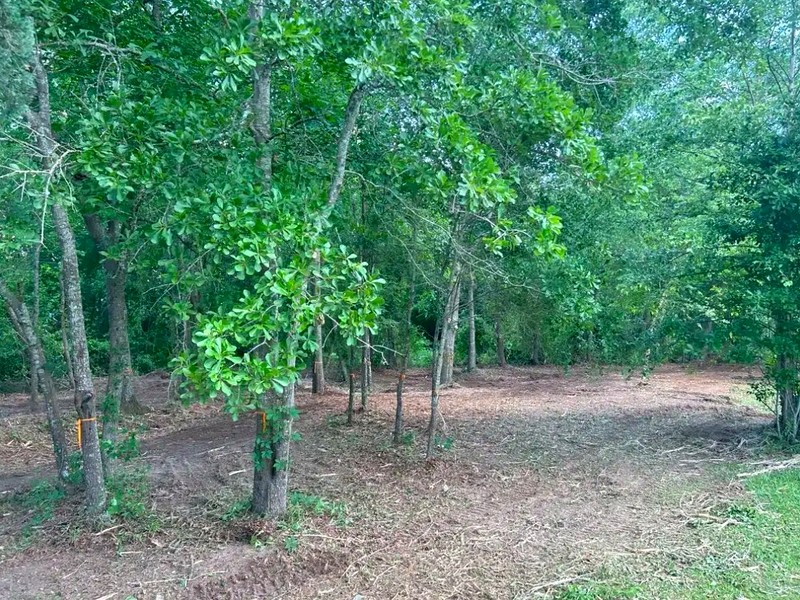
machine through it and you get ruts and torn roots under the oaks you meant to keep. So the quote
maps the low ground first, plans to reach it in a dry spell, and works the high ground while it
waits. The
guide to
clearing river-bottom land around Palestine covers the details.
Moving dirt is what brings the paperwork. Inside the city, a grading and
excavation permit covers filling, grading, digging or otherwise disturbing the surface, under
Article IX of the city code. Projects of 5,000 square feet or more need a stormwater pollution
prevention plan, plus a tree preservation plan where one applies. In the county, the 2023 flood
damage prevention ordinance requires a floodplain development permit in mapped flood hazard areas,
and it counts grading, filling and digging as development. Requirements vary by parcel, scope and
jurisdiction, and the governing authority makes the determination. The
Palestine and
Anderson County permit guide names each office.
Burn bans come and go here. Each of the four counties can start a ban when the
weather turns dry and lift it when rain returns. Check the
Texas A&M Forest Service burn ban map
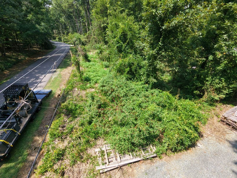
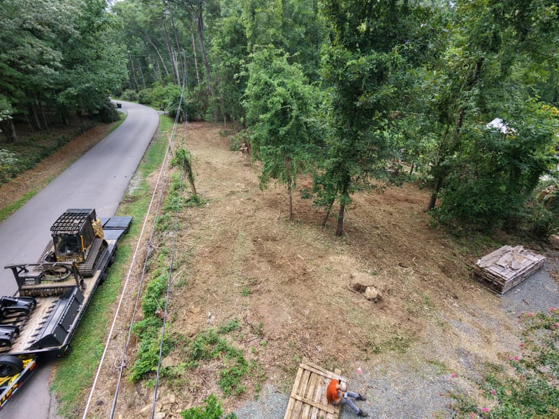
for the current status. A plan that depends on a fire can sit idle for weeks. Grinding the brush
where it falls takes that question away and keeps the sandy soil covered instead of bare.