What to Know Before Clearing Land Around Ellsworth
Ridge top or coulee side. Part of Pierce County, and most or all of Pepin County, lies in the Western Coulees and Ridges: Driftless country the last glaciers
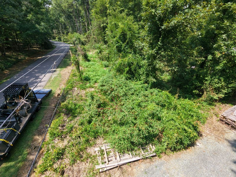
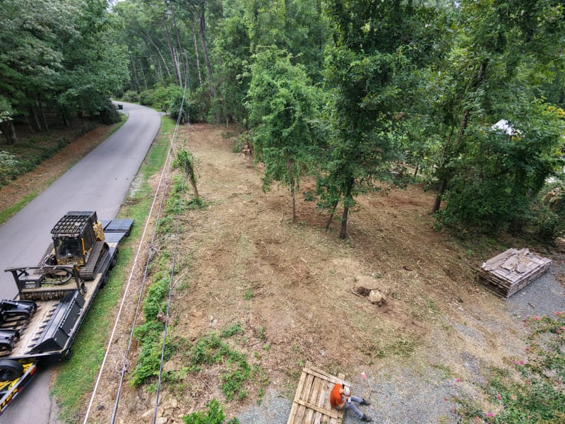
missed, cut into steep-walled valleys and ridges under windblown loess. Brush on a level ridge top or a
pasture edge is quick ground for a tracked mulcher. The same brush on a coulee side means slower,
shorter passes and sometimes a strip left out for safety, so the slope is one of the first things we
talk through.
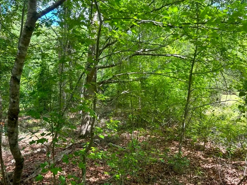
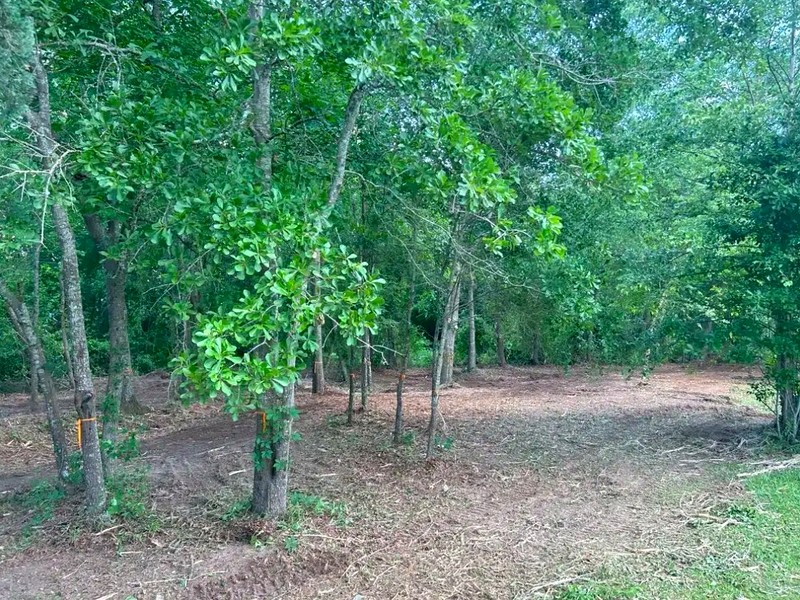
Oaks set the calendar. Oak and hickory make up about half the forest in that
landscape, and fresh oak wounds are vulnerable during the high-risk window from April 1 in the
South Zone, or April 15 in the North Zone, through July 15. Plan work near keeper oaks after that window. Buckthorn sets the rest: it resprouts from a cut stump, so one pass is the start of a plan. Our
Wisconsin buckthorn removal guide
sets out the return visits.
Who to ask about permits. Clearing counts toward the DNR's one-acre trigger for
construction site storm water coverage, and the whole project counts even when it is done in phases.
In the county, Pierce County Land Management in the Ellsworth courthouse administers the shoreland,
floodplain, wetland and St. Croix Riverway rules; inside the village limits, ask the Village of
Ellsworth. Minnesota rules apply in Red Wing and Lake City. Requirements vary by parcel, scope and
jurisdiction, and the governing authority makes the determination.