
Charlotte Land Clearing Permits and Stream Buffers
Cut Brush Team · August 21, 2026 · 4 min read

Land clearing around Charlotte can involve several overlapping questions: how much ground will be disturbed, whether a mapped stream crosses the parcel, whether the work is connected to development, and whether city or county rules govern the site. There is no reliable permit answer based only on lot size or the word “mulching.” The method, limits of work, jurisdiction, and next construction phase all matter.
This guide explains the common checkpoints without pretending to make a parcel-specific determination. The City of Charlotte, Mecklenburg County, North Carolina regulators, and any qualified project professionals remain the authorities for the final answer.
When does the one-acre erosion threshold matter?
North Carolina’s erosion and sedimentation framework generally requires an approved erosion-control plan when a project disturbs one acre or more. Smaller phases may also count when they are part of a larger common plan of development. Charlotte and Mecklenburg administer delegated local programs, so the correct filing path depends on the parcel’s jurisdiction.
“Disturbance” should be evaluated from the actual scope. Grading, excavation, access roads, stockpiles, stump removal, and construction activity can all expand the area beyond the visible clearing boundary. Forestry mulching typically leaves more ground cover than conventional grubbing, but that does not create an automatic exemption. Confirm how the permitting office classifies the complete project before work begins.
For a preliminary clearing budget, use the Charlotte pricing guide. A final quote should follow a review of access, vegetation, desired finish, and any work planned after clearing.
How do Charlotte SWIM buffers affect clearing?
Charlotte-Mecklenburg’s Surface Water Improvement and Management, or SWIM, program protects qualifying streams and water bodies with mapped buffers. A commonly encountered layout is an inner 30-foot zone closest to the bank and an outer 20-foot managed-use zone, but the applicable width and allowed activity depend on the water feature and governing rule.
The practical sequence is:
- Determine whether the channel is regulated and mapped.
- Confirm where the top of bank and buffer boundaries sit on the property.
- Mark the approved limit of work before equipment arrives.
- Ask the administering office about any proposed vegetation management inside the buffer.
A machine’s ability to reach an area does not establish permission to clear it. When a stream or wet area is present, preserve a conservative setback until its status is confirmed. Escaped running bamboo is a frequent occupant of these creek corridors, and our Charlotte bamboo removal guide covers how buffer rules shape that work.
Do Charlotte tree-save requirements apply to every homeowner?
Charlotte’s tree-preservation requirements are most relevant to development and commercial review. The rules can require tree-save areas or mitigation when a qualifying site is developed. They are not a universal permit for every tree removed from every established residential yard.
The useful questions are whether the clearing supports a building or site-plan application, whether protected trees or tree-save areas already appear on an approved plan, and whether the parcel is subject to another overlay or private covenant. A survey or approved development plan is more reliable than assuming the rule from the property’s mailing address.
What should an owner confirm before scheduling work?
Bring these items into the scoping conversation:
- Parcel address and jurisdiction.
- Survey or recorded plat, if available.
- Approximate limits of clearing.
- Intended finish: mulch, cut-and-remove, stump removal, or grade-ready soil.
- Known streams, drainage channels, wetlands, easements, and utilities.
- The next phase, including driveway, foundation, septic, or grading work.
Cut Brush can identify common considerations during a walk-through and help an owner organize the questions. The permitting authority, engineer, surveyor, or other qualified professional makes the final regulatory determination.
A lower-disturbance method still needs a defined scope
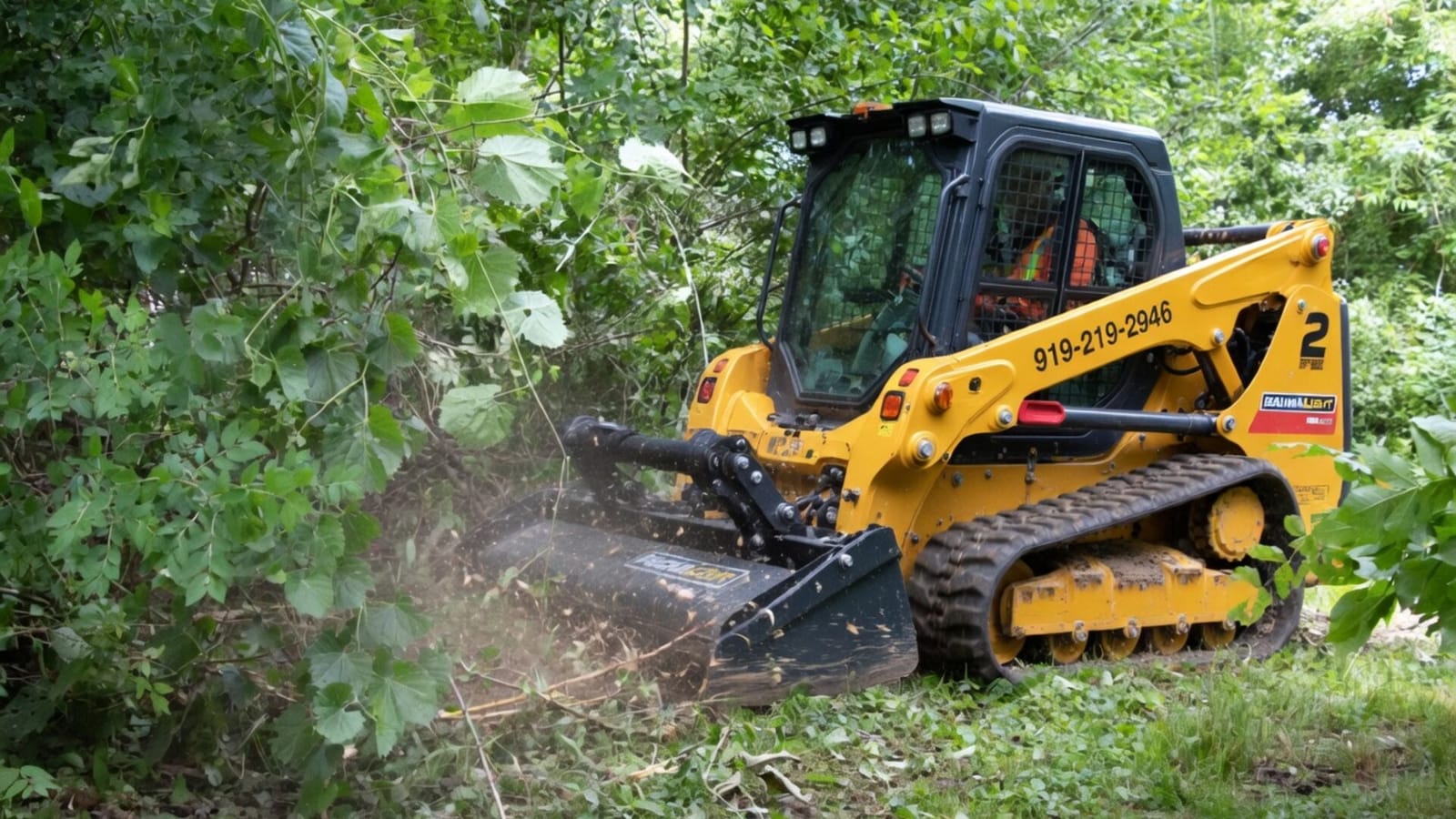
Forestry mulching in Charlotte can be useful when the goal is to open overgrown ground while retaining roots and a protective surface layer. Full land clearing may include additional phases that change the permit analysis. Neither label replaces a site-specific review.
For official confirmation, consult the City of Charlotte’s erosion-control and SWIM resources or the applicable Mecklenburg County office. Once the limits are established, request a Charlotte-area clearing quote based on the approved scope.
Official starting points
These links are starting points, not substitutes for a parcel-specific answer from the administering office.
Related Services
Learn more about the services mentioned in this article.


More from the Cut Brush Blog
Keep reading for more tips and guides on land clearing.
 Guide
Guide Bamboo Removal in Charlotte NC: Stop Running Bamboo
Bamboo removal in Charlotte NC: why running bamboo escapes old plantings, the removal sequence that works, real costs, and neighbor fixes. Get a free quote.
Guide Bradford Pear Removal in Charlotte: A Two-State Guide
Bradford pear removal in Charlotte: how the NC and SC bounty programs work, why callery thickets spread near I-485, and real clearing costs. Get a free quote.
Let's Get Started on Your Land
Request a free quote. We'll contact you to discuss your property, access, and the clearing you need.
Get a Free QuoteOr call us directly: (919) 525-3950