What to Know Before Clearing Land Around Plattsmouth
The bluffs set the pace. The hills around Plattsmouth are loess, wind-laid silt with side slopes as steep as 40 percent along the Missouri, and machines often cannot reach cedar on steep or hard-to-reach ground. On a bluff acreage the grade and the way
in decide the hours more than the number of trees, so we talk through both before quoting, and any
side too steep to work safely is left out or handled another way.
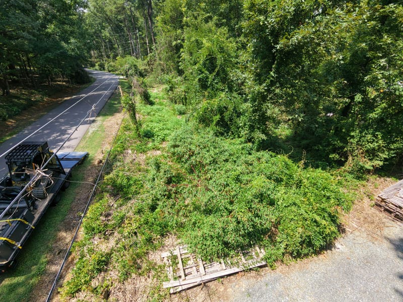
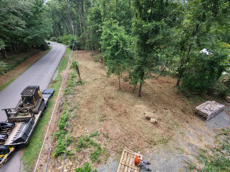
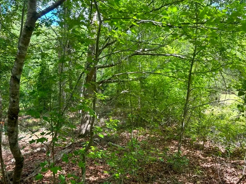
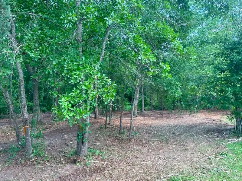
Cedar started here first. Eastern redcedar was once confined to the open, fire-protected edges of slopes, bluffs and rock outcrops; it has since spread into old fields, pastures and river woods. Once numerous seedlings show above the grass, the problem has already started. Our
Nebraska eastern redcedar removal guide
explains how to clear a stand and keep it clear.
Permits by the river. Disturbing an acre or more brings in Nebraska's construction
stormwater permit. Much of the low ground along the Platte and Missouri is floodplain: the City of
Plattsmouth's floodplain development permit lists clearing and grading among the activities it covers,
and Cass County Zoning issues floodplain development permits in the rural county. Burning the wood
needs a fire chief's permit. Requirements vary by parcel, scope and jurisdiction, and the governing
authority makes the determination.