
Martinsburg Land Clearing: 5,000 Sq. Ft. Permits
Cut Brush Team · August 21, 2026 · 4 min read

Two numbers appear repeatedly in Eastern Panhandle site planning: 5,000 square feet and one acre. They refer to different review layers, and neither should be reduced to “mulching never needs a permit.” Jurisdiction, total earth disturbance, development plans, drainage, and the presence of karst features all shape the answer.
What happens at 5,000 square feet in Berkeley County?
Berkeley County says its Building Permits and Inspections Department reviews and inspects land-disturbance projects exceeding 5,000 square feet under the county’s stormwater management and sediment and erosion-control responsibilities. The county Planning FAQ also says a site plan is needed for a project intending to disturb more than 5,000 square feet before earth-moving or construction.
A quarter acre is approximately 10,890 square feet, so a residential project can cross the county checkpoint well before it reaches a full acre. Measure the proposed disturbed area, not the parcel’s total acreage.
Inside Martinsburg city limits, the city’s own stormwater and development process may apply. Jefferson and Morgan County projects follow their respective local rules. Confirm jurisdiction before preparing a county-specific submission.
What changes at one acre?
WVDEP requires construction stormwater permit coverage for construction sites disturbing one acre or more, including smaller projects that are part of a larger common plan. West Virginia also maintains a minor-construction tier for qualifying projects from one to less than three acres.
The responsible owner or developer should confirm the current application, stormwater plan, groundwater requirements, review time, and stabilization obligations with WVDEP. A local review does not replace state coverage when the state threshold is reached.
Does mulching count toward either threshold?
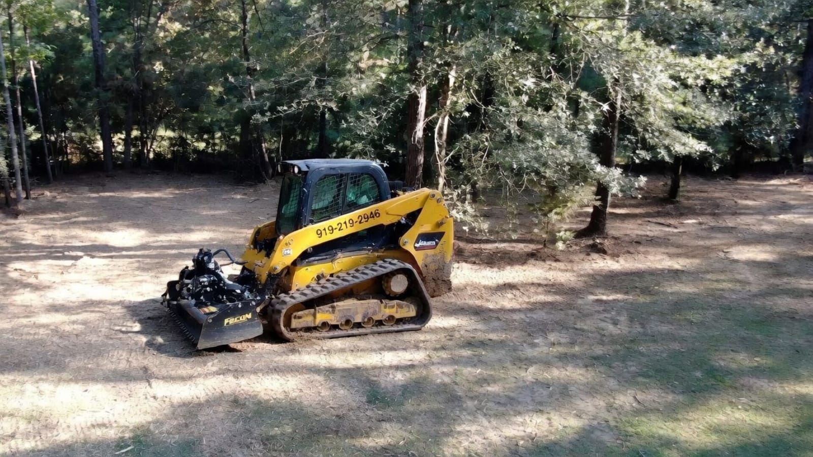
The answer depends on what happens to the ground. A vegetation-only mulching scope usually exposes less soil than grubbing, excavation, or grading, but a webpage cannot decide how the county or state will classify a specific project. Access construction, stump removal, stockpiles, drainage work, foundations, and later grading may expand the disturbance.
Describe the complete plan to the governing office. Cut Brush can distinguish the proposed vegetation work from later earthwork and help an owner ask the right questions, but the authority responsible for the permit makes the final determination.
Why does karst change the clearing conversation?
Limestone karst is widespread in the Eastern Panhandle, particularly in Berkeley and Jefferson counties. Closed depressions, exposed rock, and sinkholes can be connected to subsurface drainage. Concentrated runoff, filling, excavation, dewatering, and heavy loading can create problems on susceptible ground.
Forestry mulching around Martinsburg may retain more surface cover than conventional grubbing, but it does not eliminate geotechnical risk. A suspect depression should be kept free of machinery and debris until an appropriate professional evaluates it. Do not promise unchanged drainage or “no new sinkhole risk” when subsurface conditions are unknown.
How do burn rules affect debris planning?
West Virginia’s spring and fall fire seasons restrict daytime outdoor burning. During those seasons, burning is generally prohibited from 7 a.m. to 5 p.m., and safety-strip and extinguishment requirements apply. Additional restrictions can be imposed when fire conditions are hazardous.
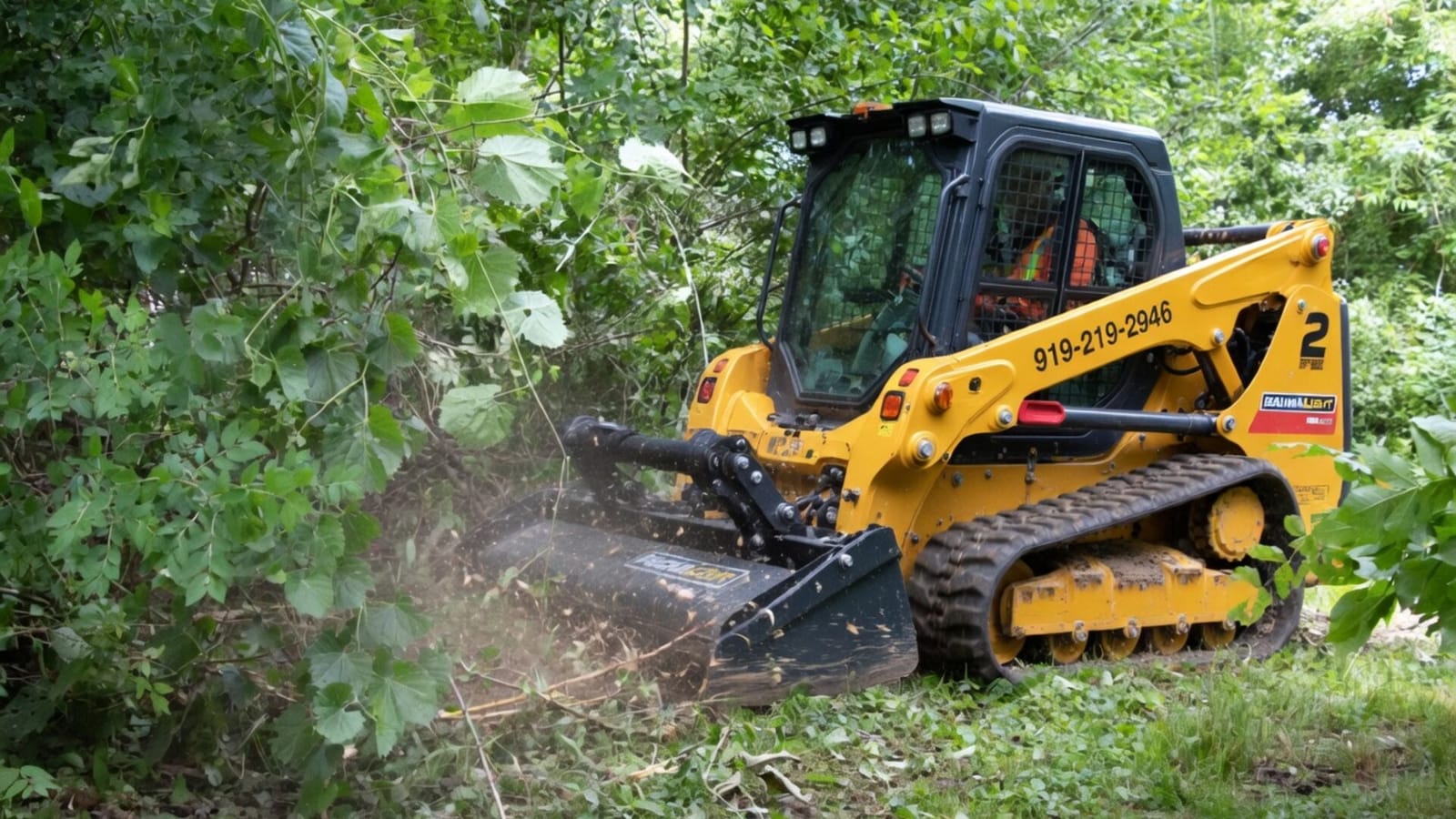
Mulching vegetation in place avoids creating a burn pile, which simplifies disposal and scheduling. The burn advantage is separate from the stormwater permit analysis.
A three-layer planning checklist
- Confirm city and county jurisdiction.
- Measure the complete planned earth disturbance against local review requirements.
- Evaluate the full development plan against the WVDEP one-acre threshold.
- Mark drainage features, depressions, exposed limestone, streams, and wetlands.
- Obtain professional review for suspect geotechnical conditions.
- Define the vegetation-clearing scope separately from later grading and construction.
The Martinsburg pricing guide provides clearing ranges and cost factors, and the land clearing cost per acre in West Virginia guide breaks down what moves those numbers on Panhandle terrain. After the work limits and review path are understood, request an Eastern Panhandle quote.
Official starting points
- Berkeley County Building Permits and Inspections
- Berkeley County Planning FAQs
- WVDEP Construction Stormwater General Permit
- West Virginia Division of Forestry Burning Laws
Confirm current requirements with the authority responsible for the property and project.
Related Services
Learn more about the services mentioned in this article.


More from the Cut Brush Blog
Keep reading for more tips and guides on land clearing.
 Cost Guide
 Land Clearing and Grading Cost in West Virginia (2026 Guide)
Clearing a West Virginia building site runs $1,500 to $4,500 an acre with Cut Brush before grading. See how rock depth, karst and DEP permits move the budget.
Cost Guide Land Clearing Cost Per Acre in WV: $1,500 to $4,500
Most West Virginia acres cost $1,500 to $4,500 to clear: brush-only work tops out near $2,500, wooded mulching near $4,000. Price table by cover and slope.
 Guide
Guide Kudzu Removal in West Virginia: Plan and Cost per Acre
Kudzu removal in West Virginia: $1,500 to $2,500 an acre for understory clearing, with follow-up cuts over three or four seasons. Get a free quote.
Let's Get Started on Your Land
Request a free quote. We'll contact you to discuss your property, access, and the clearing you need.
Get a Free QuoteOr call us directly: (919) 525-3950