
Neuse River Buffer Rules: What You Can Clear in NC
Cut Brush Team · July 7, 2026 · 8 min read

Anywhere in the Neuse River basin, including the Falls Lake watershed, the 50 feet beside a mapped stream, lake or pond is a protected riparian buffer under 15A NCAC 02B .0714. In the first 30 feet (Zone 1) you may remove dead or dangerous trees and poison ivy, but removing other woody growth needs a written Authorization Certificate and a mitigation plan approved by the N.C. Division of Water Resources (DWR). The outer 20 feet (Zone 2) may be mowed. Ground that now needs a bush hog is not a maintained lawn under the rule.
This follows the current rule text, readopted June 15, 2020 (formerly .0233). It is a plain reading, not legal advice: DWR, or a local government with delegated authority, decides how the rule applies to your parcel, so confirm with them before a machine goes near the water.
My field has grown up to the creek. Can I brush hog or mulch it back?
Only if the rule treats the strip as an existing use, and ground that has grown up usually fails that test.
The rule does not apply to the footprint of a use that is existing and ongoing. A use counts as existing if it was in the buffer on July 22, 1997 and has continued to exist since then. Agriculture, buildings and maintained lawns all qualify, and the rule defines a maintained lawn as one that “can be mowed without a chainsaw or bush-hog.” Buying or inheriting the land is not a change of use. Changing the use is: the rule applies again the moment a new activity starts.
So the deciding question is what the ground looks like, not what the deed says:
| What is in the buffer now | How the rule reads it |
|---|---|
| A lawn or field mowed with ordinary equipment since before July 22, 1997 | Existing use. Keep maintaining it the same way. |
| Cropland or pasture farmed continuously since then | Existing use (agriculture), for its footprint only. |
| A lawn or field that now needs a bush hog or chainsaw | Not a maintained lawn under the rule’s definition. Treat cutting it back as new work and ask DWR first. |
| Woods, or brush that was never a lawn | Protected buffer. Woody removal in Zone 1 needs an Authorization Certificate and mitigation. |
| Land you bought or inherited | Same answer as for the previous owner. A sale is not a change of use. |
A field left alone for a few seasons fills with saplings and woody vines, and once it needs a bush hog, it no longer fits the rule’s definition of a lawn. We do not decide which row your ground falls in; DWR does. If the strip is still mowed, keep mowing it. If it has grown up, get DWR’s answer first, and we will not clear inside a buffer without the authorization the rule requires.
Is clearing in the buffer banned, or do I need a permit?
Neither. The rule sorts each activity into a category, and the category sets the paperwork.
Deemed allowable, no approval needed:
- Periodic mowing and harvesting of plant products, in Zone 2 only.
- Pruning, which under Rule .0610 means dead branches or live branches under four inches across. Cutting a shrub down to its main trunk is not pruning.
- Removing individual trees that are dead, diseased or damaged.
- Removing trees or limbs that threaten a home, an existing utility line, another structure, a life or the stability of the streambank, with the stumps left or ground in place without further disturbing the soil. That is the one place stump grinding fits inside a buffer.
- Removing poison ivy, oak or sumac, and understory nuisance plants from the state’s invasive plant list. If the removal is significant, the buffer must be replanted with non-invasive species. Any chemical treatment there is a licensed applicator’s work.
Allowable with mitigation upon authorization: removing woody vegetation in Zone 1, as long as runoff still reaches the stream as diffuse flow (Item 9 of the rule). That takes a written Authorization Certificate and a mitigation plan approved by DWR. DWR has 60 calendar days to issue it, deny it or ask for more information; if it does none of those, the certificate counts as issued, unless you agreed to a longer period or did not supply what DWR needed.
Everything the rule’s table does not name needs an Authorization Certificate with Exception and a mitigation plan approved in writing. Clearing woody brush in Zone 2 is not named, so do not assume mowing permission covers a mulcher in standing saplings. The rule does allow grading and revegetating Zone 2 as long as the vegetation in Zone 1 stays healthy. We clear; grading is work for your grading contractor, and whether it fits your plan is a question for DWR.
Is a timber harvest treated differently from clearing?
Yes. Forest harvest inside the buffer has its own route. In Zone 1, the land needs a present-use-value forestry deferment or a forest management plan from a registered forester. The first 10 feet beside the water stays undisturbed except for individual high-value trees, no more than half the trees over five inches in diameter may be cut, and the same ground may not be harvested again for 15 years. Tracked or wheeled machines are allowed only where there is no practical alternative for removing individual trees. In Zone 2, harvest is allowed as long as ground cover is kept.
That route is for land staying in forest. When a tract is cleared so it can be converted to another use, such as a homesite, the work is land clearing, not forestry. The N.C. Forest Service inspects harvests, but DWR makes the final compliance call and handles enforcement.
Does the buffer apply to my creek, and who makes the call?
A creek, lake, pond, reservoir or estuary is regulated if it is approximately shown on the NRCS soil survey map with stream layers or on the USGS National Map, or on another map the Environmental Management Commission has approved. Older versions of the rule named 1:24,000 topographic maps; the current text does not. Wetlands within 50 feet are part of the buffer but fall under a separate wetland rule. There is no small-lot exemption: the buffer must stay undisturbed regardless of property size.
To measure it, Zone 1 starts at the top of the bank or the edge of rooted herbaceous plants (for a pond or lake, at the normal water level) and runs 30 feet out, measured flat. Zone 2 is the next 20 feet.
If the map looks wrong, request an on-site determination. Certified DWR staff, or staff of a local government that holds delegated authority, walk the site. A mapped feature drops out of the rule only if that visit finds it is:
- a ditch or manmade conveyance, not a modified natural stream;
- a manmade pond not fed by, and not draining directly to, an intermittent or perennial stream;
- an ephemeral stream; or
- not there on the ground at all.
Until a determination says so, a mapped line is regulated. A determination expires five years from its date. DWR takes requests through its Electronic Stream Determination Form. In unincorporated Wake County, Neuse basin determinations go to the DEQ Raleigh Regional Office at 919-791-4200. Inside a town, ask town hall whether it runs its own buffer program.
What is the penalty for clearing a Neuse buffer?
Civil penalties under G.S. 143-215.6A can reach $25,000 per violation, per day. Two limits apply: a penalty above $10,000 is allowed only if the violator was penalized within the five years before, and for timber removed from a riparian buffer, the penalty cannot exceed the value of the timber removed.
Where forestry mulching fits beside a buffer
Most of the clearing on a creek property happens outside the 50 feet, and there the buffer rule mainly cares about water: stormwater running into the buffer has to arrive as dispersed flow, spread out rather than channeled. Sediment control on the cleared ground is a separate law, covered in our permit guides for Johnston County and Wake County.
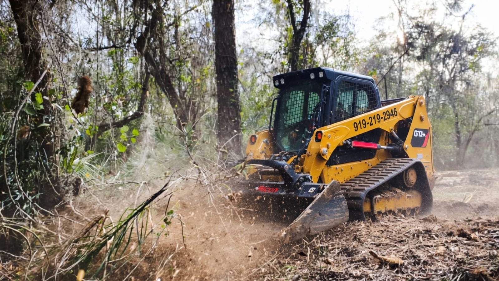
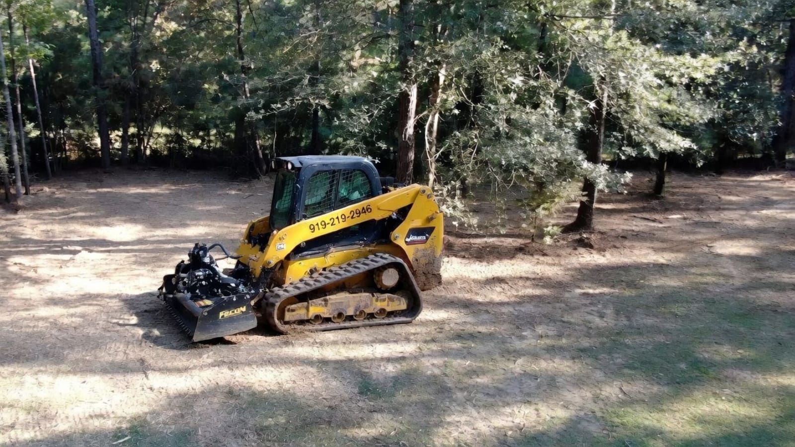
Forestry mulching grinds brush and small trees where they stand, leaves the roots in the soil and covers the ground with chips, so the edge of the buffer is not left as bare dirt. For a Zone 2 strip or an old lawn that still qualifies as an existing use, brush hogging is the mowing tool. Privet and other listed understory invasives fall under our invasive species removal work.
On price, forestry mulching and land clearing start around $1,500 per acre, and most residential clearing runs $1,500 to $4,500 per acre depending on density, slope and access; the pricing page has the detail.
Rules this page does not cover
The Falls Lake watershed adds nutrient and development limits on top of this buffer; see our Falls Lake clearing guide. Jordan Lake falls under a different buffer rule, covered in the Jordan Lake guide.
Frequently asked questions
Can I clear underbrush in the Neuse buffer?
In Zone 2 you may mow. Removing woody growth in Zone 1 needs an Authorization Certificate and mitigation, and woody brush in Zone 2 is not a listed use, so ask DWR first. Poison ivy and listed invasive understory plants may be removed in either zone.
Do small ditches count?
A mapped ditch stays regulated until an on-site determination finds it is a manmade conveyance rather than a modified natural stream.
Get a free quote for land near the Neuse
Request a free quote and our crew will contact you to talk through the property, the access and the clearing you need, or call (919) 525-3950. We clear the ground outside the buffer, do the work the rule deems allowable inside it, and will not clear inside a buffer without the authorization the rule requires.
Related Services
Learn more about the services mentioned in this article.


Serving These Areas
We provide land clearing services in these towns and surrounding areas.
More from the Cut Brush Blog
Keep reading for more tips and guides on land clearing.
 Guide
Guide Jordan Lake Watershed Land Clearing: Buffer Rules by Town
Near Jordan Lake, your town or county runs the stream buffer, not the state. 50 feet is the floor, Cary and Apex go to 100, and unlisted clearing is barred.
Guide Falls Lake Watershed Land Clearing: 1-Acre Rule by County
Since 6 October 2025, a house or duplex under 1 acre in the Falls Lake watershed needs no Falls stormwater plan. Buffers, erosion and Durham rules still apply.
 Guide
Guide What to Do With Land Clearing Debris in NC: Rules and Costs
Mulch it, burn it or haul it. NC allows a land clearing fire 500 feet from neighbors' homes with no ban on; a Wake County debris yard posts $30 a pickup load.
Let's Get Started on Your Land
Request a free quote. We'll contact you to discuss your property, access, and the clearing you need.
Get a Free QuoteOr call us directly: (919) 525-3950